
Gossips

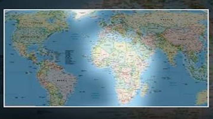
India has backed a United Nations resolution promoting the use of a new Equal-Area World Map, which aims to represent the actual geographical area of countries and continents more accurately. The move is significant because the widely used Mercator projection can visually exaggerate the size of regions located farther from the Equator. Under the new projection, countries and continents such as India and Africa appear closer to their actual proportions, while some regions, including the United States, appear relatively smaller. The change relates to the representation of geographical area on maps and does not alter the actual size or borders of any country.
India, however, has made its position clear that its support for the UN resolution should not be interpreted as approval for politically motivated changes to international boundaries, disputed territories or place names. External Affairs Ministry spokesperson Randhir Jaiswal said India’s vote in favour of the resolution does not compromise the country’s position on sovereignty and territorial integrity. He also stressed that India’s sovereign territories, including the Union Territories of Jammu and Kashmir and Ladakh, must be depicted in accordance with India’s official map. Any misleading representation contrary to India’s official position would not be acceptable, he said.










Comments (0)
No comments yet
Be the first to comment!