



General


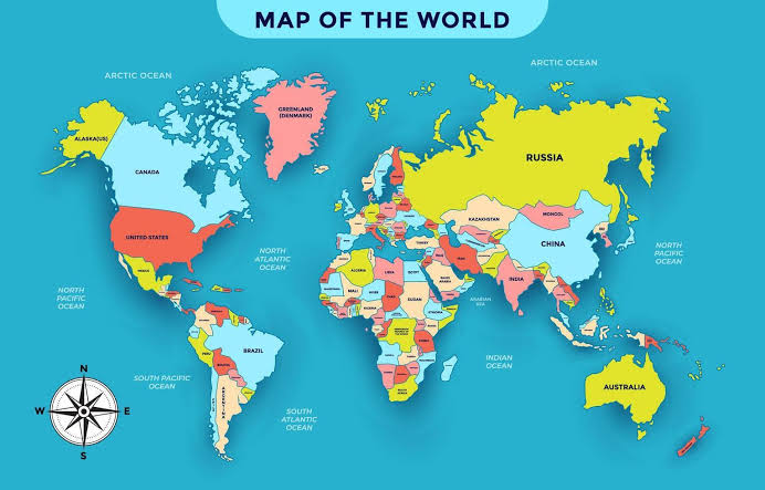
The world map is set for a significant change, with the United Nations adopting a resolution supporting the use of the Equal Earth map instead of the centuries-old Mercator projection. The new map is designed to represent the actual sizes of landmasses more accurately. As a result, Africa appears considerably larger, while Europe and North America appear smaller compared with their representation on the Mercator map.
The UN resolution received support from 164 countries, while the United States voted against it and six other countries abstained. The United Nations has urged member states to use the new world map, which is designed according to the actual areas of the continents. The move is aimed at providing a more accurate representation of the relative sizes of countries and continents on global maps.












Comments (0)
No comments yet
Be the first to comment!