


Movies

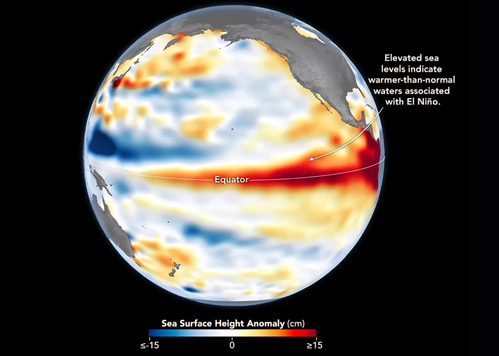
A NASA satellite has captured a massive wave of unusually warm water stretching hundreds of miles across the Pacific Ocean, providing a strong indication that this year’s El Niño event could be among the most intense ever recorded. Scientists say the warm-water anomaly is a key characteristic of El Niño, a climate pattern that influences weather conditions across the globe and can trigger extreme events such as droughts, floods, heatwaves, and severe storms.
Researchers are closely monitoring the development, as a powerful El Niño could significantly impact agriculture, water resources, and ecosystems in many countries. Historical records show that strong El Niño events have disrupted rainfall patterns, reduced crop yields, and increased the frequency of extreme weather conditions. Experts warn that governments and communities should remain prepared for possible climate-related challenges if the phenomenon continues to strengthen in the coming months.


Comments (0)
No comments yet
Be the first to comment!