

Movies


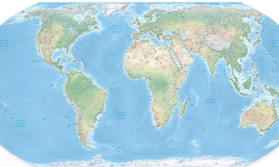
A new world map released by the United Nations has sparked controversy over the way certain disputed territories involving India have been depicted. India has consistently maintained that Arunachal Pradesh is an integral part of the country, while Aksai Chin is Indian territory currently under Chinese control.
According to the details provided, the new map depicts Arunachal Pradesh and Aksai Chin as separate regions. The border between Arunachal Pradesh and Nagaland has also reportedly been represented differently, while Aksai Chin is shown separately between Ladakh and Tibet. The map’s depiction of Jammu and Kashmir, including Pakistan-occupied Kashmir, has also attracted attention. The UN note reportedly states that the Line of Control between India and Pakistan has been represented with a dotted line to indicate the boundary agreed upon by the two countries.
















Comments (0)
No comments yet
Be the first to comment!