
Health


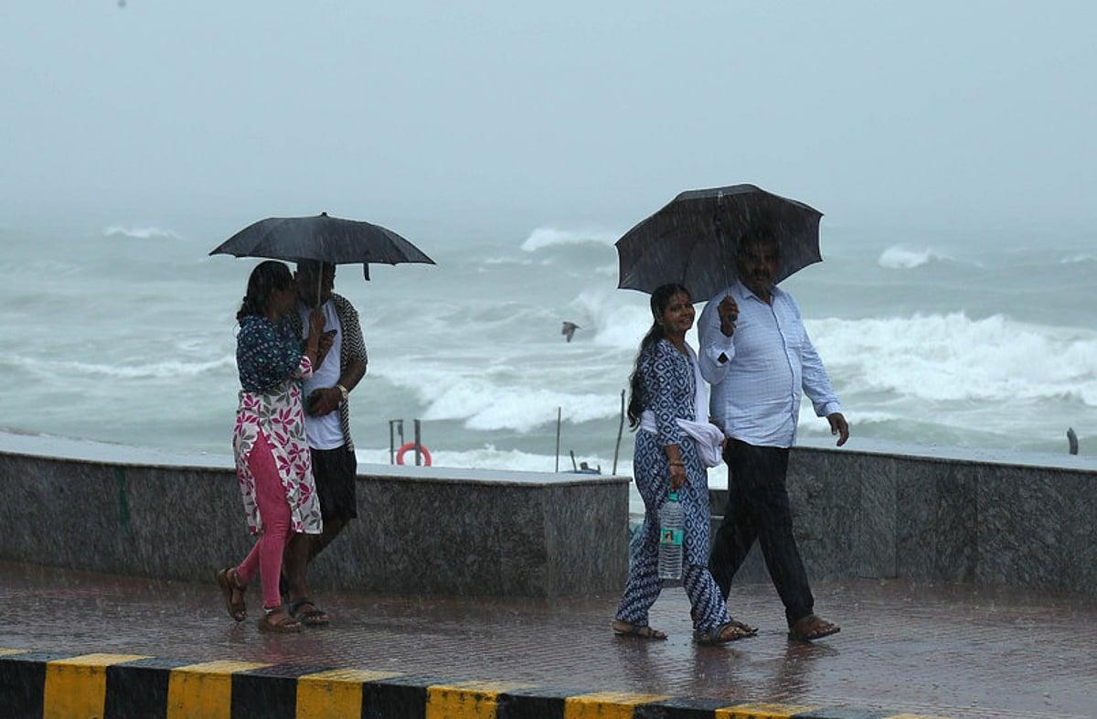
A surface circulation extending up to 5.8 kilometres above mean sea level continues over the southwest Bay of Bengal, near the north Tamil Nadu coast. According to the Meteorological Department, this system may bring heavy rainfall at isolated places in Coastal Andhra Pradesh over the next three days. Light to moderate rain, accompanied by thunderstorms and showers, is also likely in some areas. Residents are advised to follow official weather bulletins and remain alert to changing conditions.
Some weather models suggest that a low-pressure area could develop over the Andaman region on October 24 or 25 under the influence of the current circulation. It may intensify into a depression by October 27 and move into the central Bay of Bengal. Further strengthening into a cyclonic storm over the following two days is also being considered, with a possible landfall between the north Andhra Pradesh coast and southern Odisha toward the end of the month. However, this is still a preliminary forecast based on model projections. The possible system’s development, track and landfall location are yet to be confirmed, and greater clarity is expected over the next two days.














Comments (0)
No comments yet
Be the first to comment!